Flooding from sea level rise is threatening to wash away many of Boston’s historical buildings and archaeological sites, according to WGBH News.
In 2012, the city was spared when Hurricane Sandy turned west and slammed into New York instead. But the close call sparked a May conference of experts and stakeholders to consider what would have happened if Sandy had hit Boston. What they discovered was that historic sites like Faneuil Hall and the Blackstone Block of colonial streets — which sit within the city’s 100-year tidal flood zone — would already have been flooded three times since Sandy if storms had hit during high tide instead of low. A May report by the Union of Concerned Scientists noted both sites as some of the most at-risk in the entire country thanks to increased flooding from climate change and sea level rise.
The group also reported that since 1921, Boston has 20 instances of high tides with waves 3.5 feet taller than normal. Half of those instances hit within the last decade.
“When you start thinking about where the ocean is going to come in and how big the ocean is, and you start thinking about how the water will flow, you realize that these beautiful old buildings are right at the forefront of this issue,” said Boston Environment Commissioner Nancy Girard.
The Boston Harbor Association, which provided the May conference with many of its numbers, also released a report with an interactive map that tracks flooding in the city according to 5-foot and 7.5 foot coastal floods.
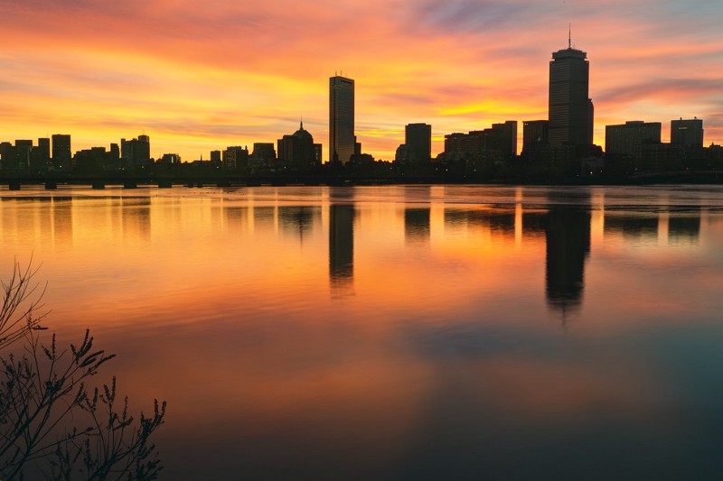
Flooded BostonAn interactive map shows the impact of 5-foot and 7.5-foot coastal floods in Metro Boston that could be caused by a…projects.wgbhnews.orgNor does the problem end with the historic sites themselves; the ground under Faneuil Hall was once a wharf that was filled in with trash and covered with dirt to extend the land. That buried garbage is now an archaeological goldmine providing insight into life in 1700s Boston. Now it’s in danger of being covered by water. Boston’s city archaeologist Joe Bagely told WGBH News that at least 100 other lesser-known archaeological sites across Boston are also in danger of being washed away, including troves of Native American artifacts out on the Boston Harbor islands.
A Boston symposium in April, co-hosted by Sasaki Associates and Boston Architectural College, addressed many of the same issues. The gathering occurred in conjunction with a museum exhibit that produced a similar interactive map, and focused on the need to address sea level rise and flooding as a risk management issue, especially over the longer time scales faced by property owners and their insurers. (Property developers, by contrast, tend to get their money back over a relatively short period and move on to the next project.) That means building infrastructure in anticipation of storms that will hit once every 100 years or even once every 1,000 years.
Elizabeth S. Padjen over at Landscape Architecture Magazine reported that the symposium addressed ideas ranging from rebuilding certain streets and alleys to function as ad hoc canals when the floods come — an idea also considered by the May conference — to underground cisterns, flood-able parks, floating buildings and absorbent streets.
Nor does the threat of floods in Boston come solely from the ocean. According to the National Climate Assessment, the northeast of the country is one area where climate change is likely to significantly increase precipitation. The area has already seen a 71 percent rise since 1958.
Along with New York City and Philadelphia, Boston also has some of the oldest water infrastructure ion the country. As a result, the city’s stormwater and wastewater is all still handled by the same pipe network, meaning downpours threaten the city’s health with backed up sewage as well as with the damage from flooding.
A 2013 study in Nature ranked Boston the eighth most at-risk for flooding of all the country’s major coastal metropolitan areas, facing $237 million worth of possible damage.