Candidate Donald Trump vowed time and again to build a massive border wall between Mexico and the United States. He has reiterated this pledge as president, despite unanswered questions regarding who would pay the billions of dollars estimated for construction.
Fulfilling that already challenging promise will be a whole lot harder thanks to climate change.
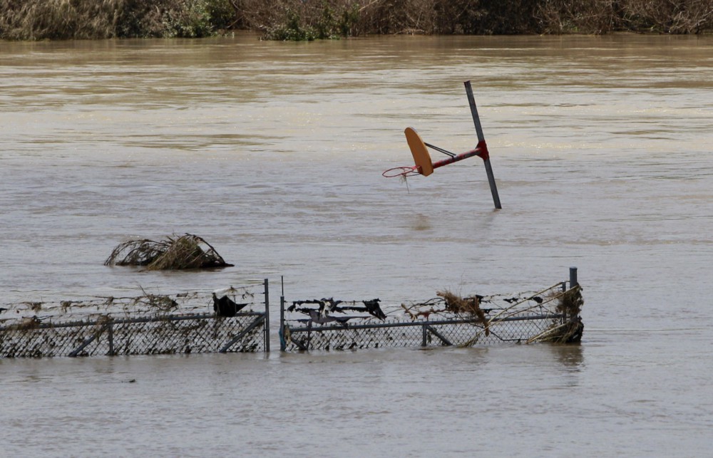
The problem is that the vast majority of that border runs straight down the middle of 1,254 snaking miles of the Rio Grande River — and ever-worsening, climate change-fueled floods greatly complicate any plausible design.
And that’s on top of siting problems so significant Trump’s Interior Secretary Ryan Zinke actually seemed to suggest the wall would be built on Mexico’s side of the river when he told ranchers last week, “We’re not going to put it on our side and cede the river to Mexico.”
Extreme weather and climate change make both the siting and design challenges unimaginably greater.
Consider the devastating Texas flooding in May 2015. More than 35 trillion gallons of water deluged the state. The National Weather Service in Fort Worth tweeted that was enough “to cover the entire state nearly 8 inches deep.”
There has been enough rain across #Texas during May to cover the entire state nearly 8 inches deep. That's over 35 trillion gallons! #txwx
— NWS Fort Worth (@NWSFortWorth) May 29, 2015
Texas Gov. Greg Abbott (R) was forced to declare a state of disaster in 46 counties — in his words, “literally from the Red River to the Rio Grande.”
An October 2015 study concluded that “anthropogenic [human-caused] global warming contributed to the physical processes that caused the persistent precipitation in May 2015.”
One of the basic predictions of climate science, confirmed by observations, is that the hotter it gets, the more water evaporates into the air, resulting in much more water available for deluges. Worse, in many places, the climate actually changes — blocking patterns are created that cause storm fronts to stall — which can lead to truly epic deluges.
The National Oceanic and Atmospheric Administration (NOAA) reported that in some areas, the May 2015 deluge was “greater than a 1-in-1000 year event.” Extreme events are becoming much more common. As Craig Fugate, head of the U.S. Federal Emergency Management Agency (FEMA) under President Obama, said after the epic year of extreme weather in 2010, “The term ‘100-year event’ really lost its meaning this year.”
How do you design a wall that could withstand these ever-worsening superstorms — especially when your administration denies the science of human-caused climate change in the first place and has issued orders not to plan for it?
And where exactly do you build a wall when floods along the Rio Grande can be so huge they can be seen from outer space — as in the case of the monster floods of September 2008, captured by NASA’s Terra satellite?

Complicating the siting issue even further is the fact that, as the AP has noted, “treaties with Mexico prevent either country from constructing within the river’s flood plain.”
Indeed, the 1970 “Treaty to Resolve Pending Boundary Differences and Maintain the Rio Grande and Colorado River as the International Boundary” states that the joint U.S.-Mexico International Boundary and Water Commission “must approve construction of works proposed in either country” along those rivers. It explicitly prohibits the construction of projects “which, in the judgment of the commission, may cause deflection or obstruction of the normal flow of the river or of its flood flows.”
Ignoring that restriction would require Trump to blow up nearly 170 years of treaties with Mexico.

But if you put the wall far enough inland so it isn’t actually sitting in the floodplain — which, again, keeps expanding because of human-caused climate change — then the government will have to seize even more massive amounts of land from the Texans who own it, while cutting them off even more from the river that they rely on.
And we all know how much Texans love the government seizing the property using eminent domain and underpaying them for it.