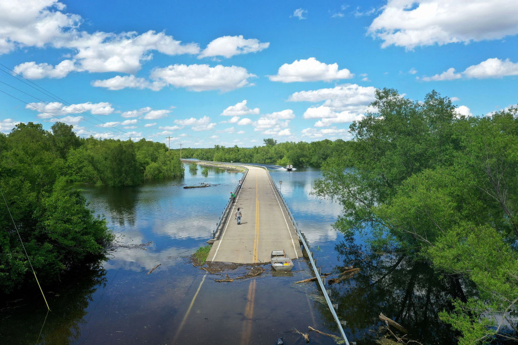
Tropical Storm Barry could become this year’s first hurricane, but it is already devastating the Louisiana coast. Streets are flooding and levees are about to crest. By Saturday, the storm could dump up to 18 inches of rain on top of an already water-logged state.
With half-a-foot of rain already unleashed on New Orleans, Louisiana Gov. John Bel Edwards (D) declared a state of emergency on Wednesday, warning, “No one should take this storm lightly.”
As Barry moves inland, it’s expected to impact other areas in Louisiana such as Baton Rouge and Shreveport, as well as cities in Alabama and Mississippi. But with the storm only expected to become a hurricane on Saturday, why is it already so destructive?
It has a lot to do with climate change, and specifically, with just how wet the past year has been for the United States.
Sitting in a bus stop during a downpour as the water rises above the ankles on Canal Street in New Orleans. What a mess… Photo by Chris Granger #neworleans #weather #usa #america #ClimateCrisis @weatherchannel @NWS pic.twitter.com/QqQHc96tp1
— Chris Granger (@chris_granger) July 10, 2019
According to data released in June by NASA’s Earth Observatory, the continental U.S. just had its soggiest 12-month period since modern record-keeping began 124 years ago. Over the past year, the U.S. collectively averaged 36.2 inches of precipitation — 6.25 inches above average.
As an article by NASA’s Earth Observatory explained, “there is no one explanation for the extreme precipitation of the past year. It does, however, fit with long-term increases in overall precipitation and with heavy rainfall events in our changing climate.”
And last year’s National Climate Assessment, released by the Trump administration, warned that climate change will cause more flooding in certain areas, including the Southeast and Midwest regions of the United States.
The Mississippi River has been swollen for a while now due to the persistent flooding in the Midwest (which began mid-March). And as of last month, the flooding in at least eight states along the Mississippi River — including Louisiana — was the longest-lasting since the Great Flood of 1927; Baton Rouge, for instance, had been above flood stage since early January.
Currently, the lowest water levels of the Mississippi River in New Orleans are just four feet below the tops of the city’s levees.
Many fear that if Barry strengthens, the levees will easily overflow. Most of New Orleans’ levees are designed to protect the city from 20 feet of water, but according to projections on Wednesday, the Mississippi is expected to crest at 20 feet by Saturday morning due to the storm surge.
#BREAKING: Mississippi River now forecast to crest at 20 Feet in New Orleans due to surge from #BARRY. NOLA levees only protect to 20 Feet! 🌀💦☔️🌊#NOLA #LAwx pic.twitter.com/XWllqSPUwP
— Dylan Federico (@DylanFedericoWX) July 10, 2019
With climate change, oceans become warmer and that increase in heat leads to more moisture in the air — meaning wetter storms. Like Hurricanes Harvey and Florence, should Barry turn into a hurricane, it is expected to be slow moving and very wet.
On top of that, climate-driven sea level rise means storm surges are occurring from a higher starting point, which then causes them to bring more water further inland.
As Alex Kolker, an associate professor at the Louisiana Universities Marine Consortium, wrote on Twitter: “In Louisiana, we can flood three ways. We can flood from water flowing down the Mississippi River, from local rainstorms, or from a storm surge from the Gulf. This week, we’ll have to deal with all three at once.”
In other words, it’s the perfect storm.
Often, in New Orleans, it’s the same areas that get hit storm after storm. And the areas most at risk now are the same places that were hit hardest by Hurricane Katrina in 2005 — many of which are still struggling to recover more than a decade later.
For context, when Katrina hit, the Mississippi was at 3 feet. Right now, it’s at 16 feet.
All of this comes one day after the National Oceanic and Atmospheric Administration (NOAA) released a report on 2018 high tide flooding — also known as sunny day or nuisance flooding — which found that the rate of flooding is accelerating the fastest along the Northeast Atlantic coastline and the eastern Gulf of Mexico. Flooding in these highly populated coastal areas is exacerbated by hurricanes and other storms combined with sea level rise, NOAA said.
This year, the frequency of this high-tide flooding — which doesn’t require significant rainfall to occur, but can be made worse by it — is expected to double compared to flooding observed in 2000.
As NOAA stated in the report: “Annual flood records are expected to be broken again next year and for years and decades to come.”

